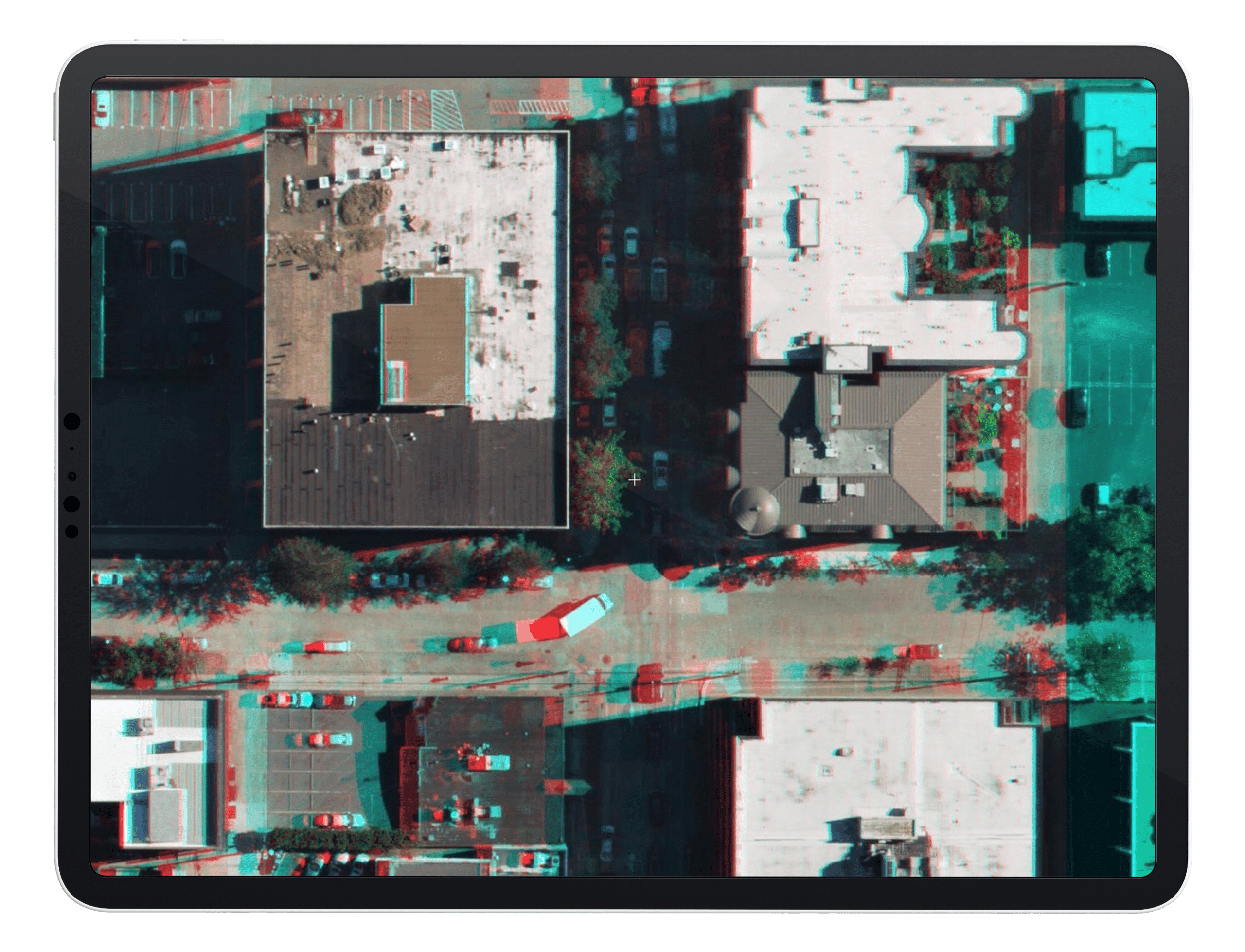
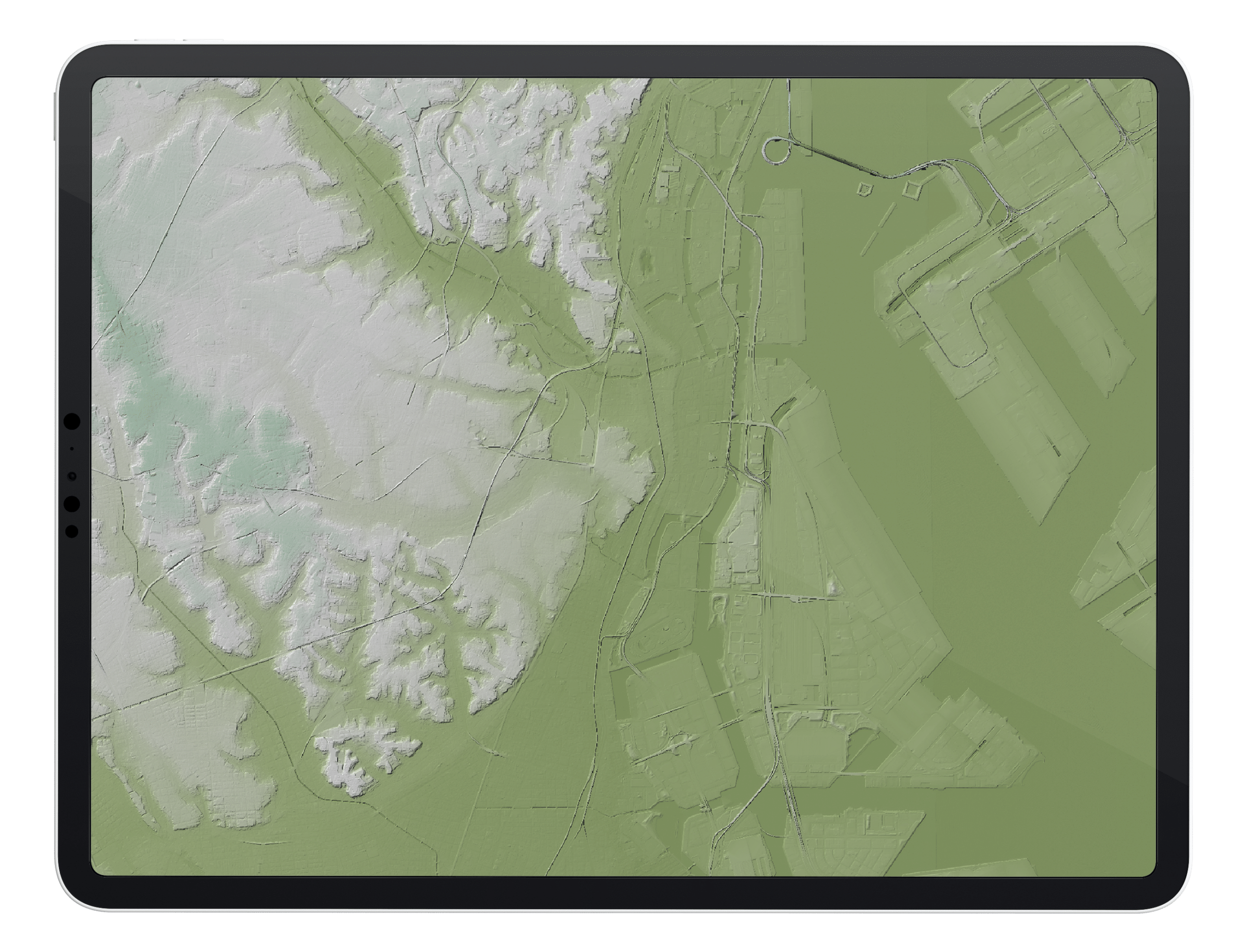
 2D AERIAL DATA
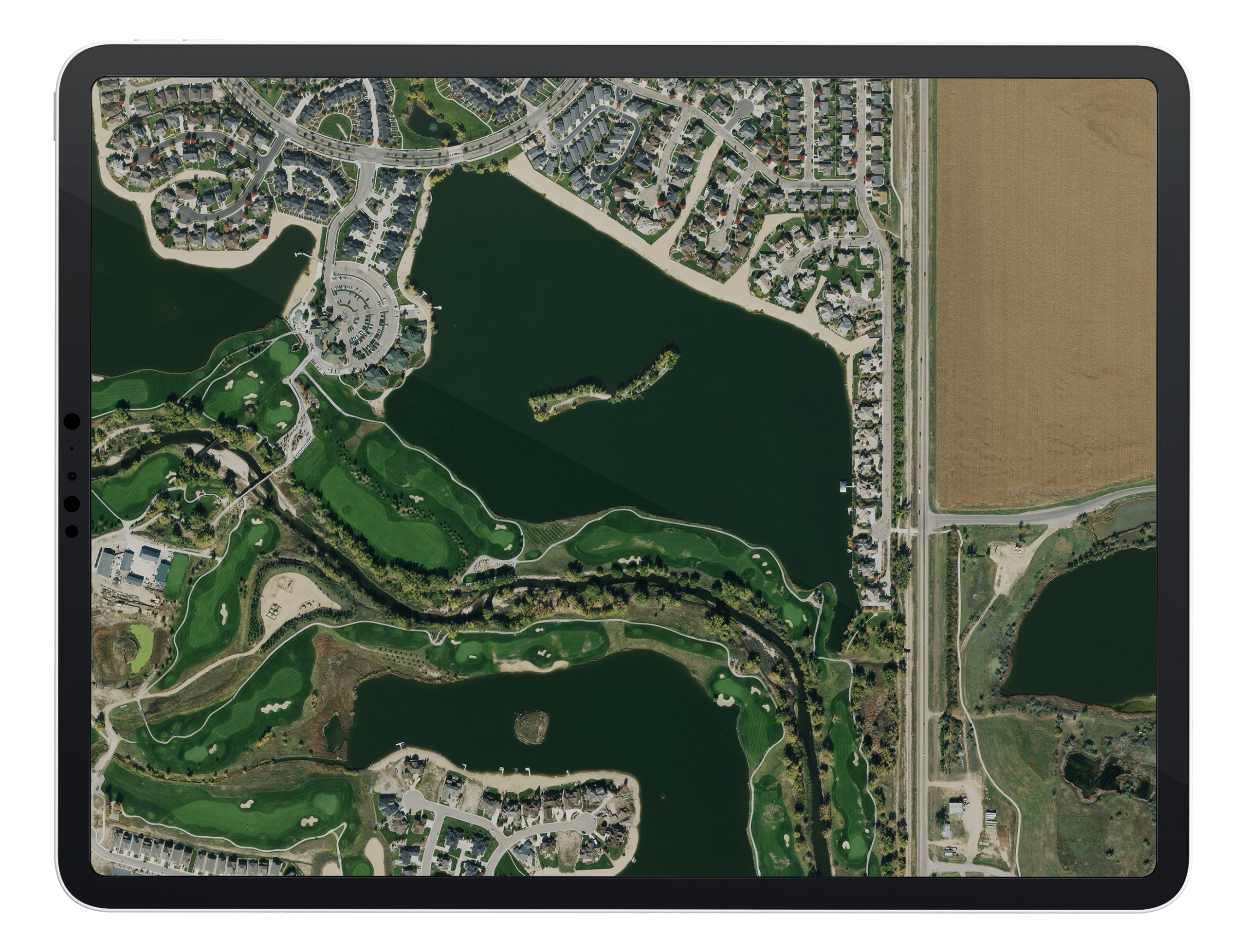 2D AERIAL DATA
 3D AERIAL DATA
 3D AERIAL DATA
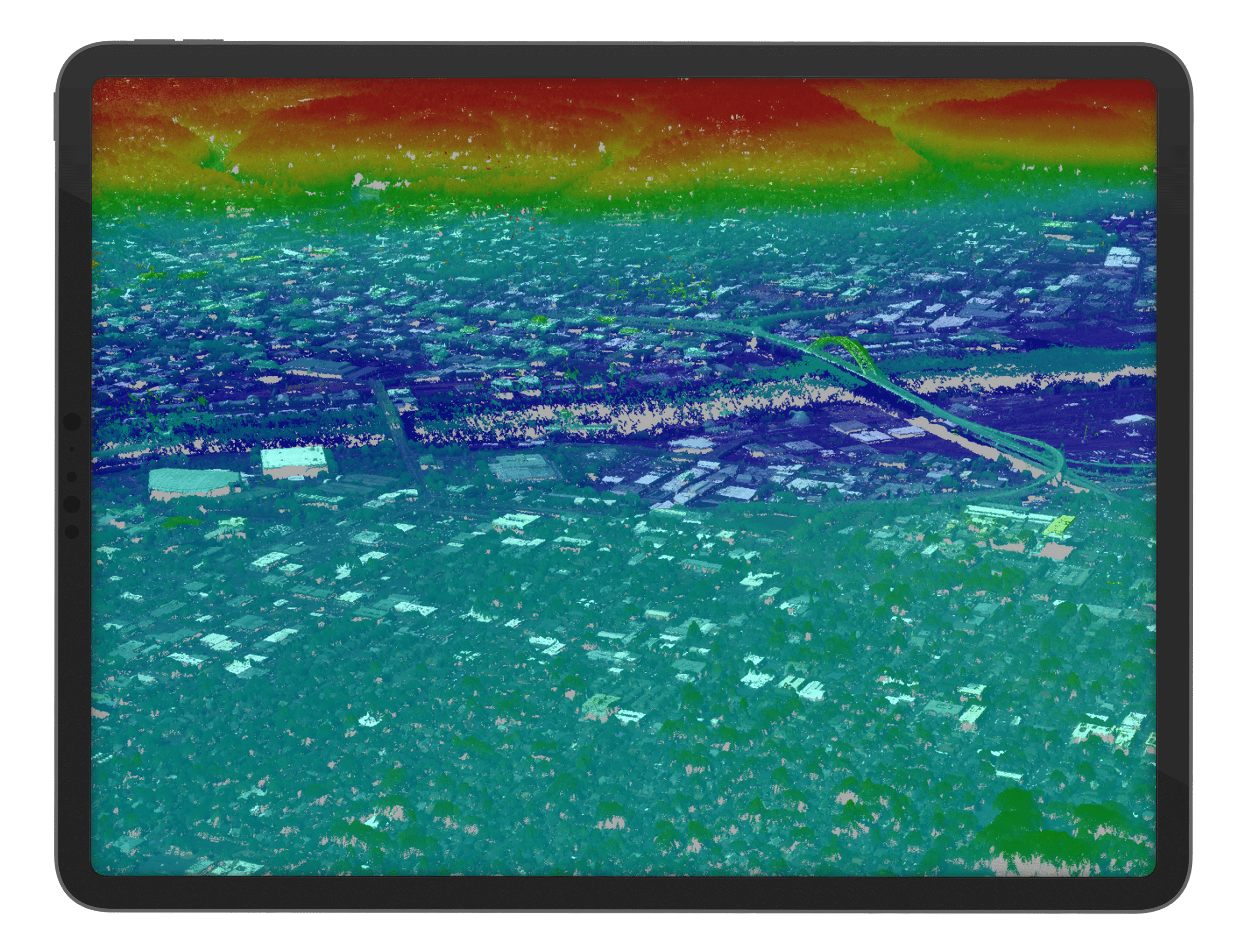 3D AERIAL DATA
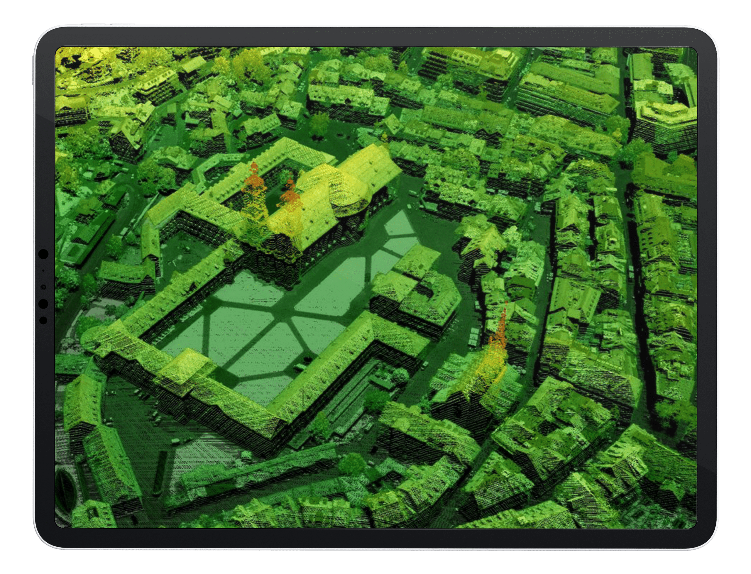 3D AERIAL DATA
 2D AERIAL DATA