Make informed decisions with reliable, high-resolution aerial data

Created by

The HxGN Content Program, Hexagon’s aerial data program, can help you unlock deeper insights to address today’s most challenging problems.

Seamless, consistent and high-quality aerial data

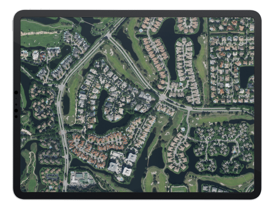
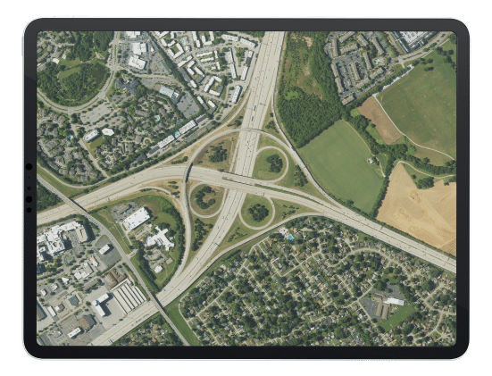
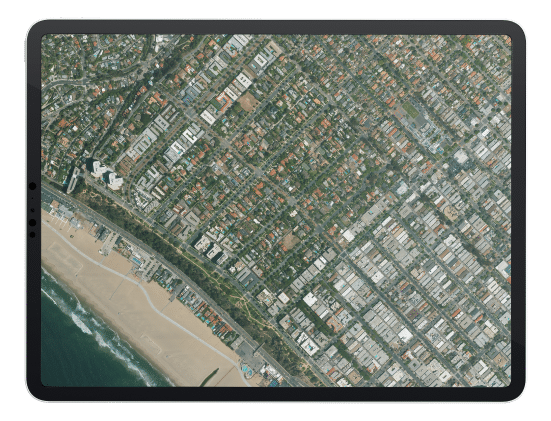
Access an extensive collection of high-resolution, countrywide aerial imagery and elevation data across the contiguous United States and Western European countries.
We build our solutions from the ground up, managing the entire workflow from sensor design and development, data acquisition, and data processing to ensure excellence at every stage.

Reliable aerial data leads to improved results

Countrywide Coverage

Countrywide Coverage

Data is captured in the same season using flexible flight plans to ensure reliable, temporally consistent coverage.

Planned Refresh Schedule

Planned Refresh Schedule

Reliable refresh cycles allow you to plan and budget in advance. New data is delivered through streaming and pixel download.

Flexible Data Use Terms

Flexible Data Use Terms

Build derivative products, analytics, and value-added layers thanks to our flexible use terms.

Consistent Quality and Attention to Detail

Consistent Quality and Attention to Detail

Our data is captured using the latest imaging sensor technology and vetted by geospatial experts to meet professional quality standards.

Variety of Data Products for Every Project

Variety of Data Products for Every Project

Access an extensive collection of high-resolution aerial imagery and elevation data of the United States and Western Europe.

Try Out Our Aerial Data

Submit your request to receive samples of our high-resolution aerial imagery. The samples will be emailed to the address you provide below.

Gather Meaningful Insights with Urban Digital Twins

The HxGN Content Program also offers a full stack of ultra-HD aerial data sets through the Metro HD city program. Data sets of select cities are derived from simultaneously captured aerial imagery and LiDAR data to achieve superior quality.

Request samples of Metro HD city data or download our brochure to learn more about the HxGN Content Program.