Gain valuable insights that drive smarter decisions with high-resolution aerial imagery and elevation data.
Take your project to the next level
Extensive data coverage
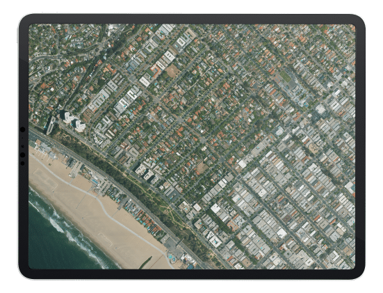
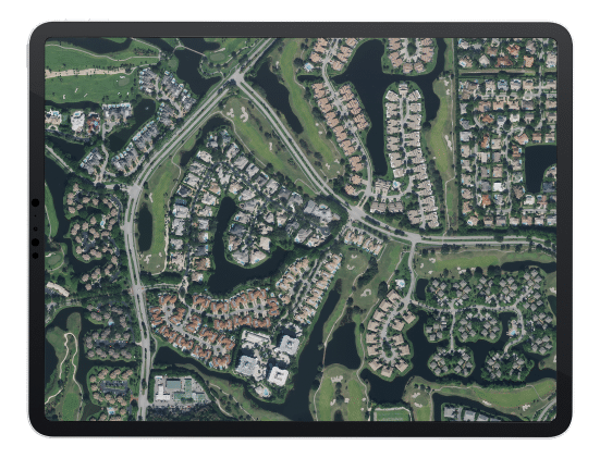
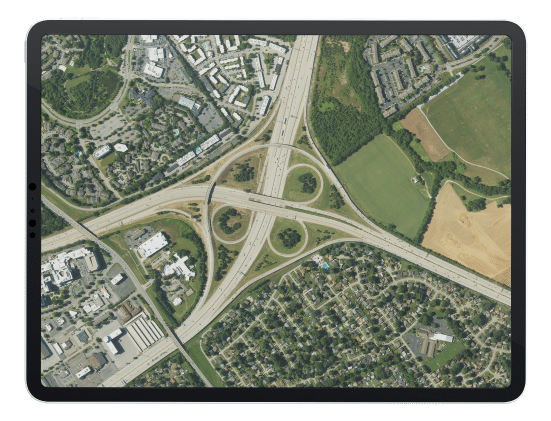
Access over 19 million square miles (51 million km²) of high-resolution aerial imagery and elevation data covering entire nations, including the United States and Western European countries.
Pre-scheduled data updates
Plan and budgetin advance with Hexagon’s regular refresh cycles. As updated aerial imagery comes online, you get immediate access through streaming and download.
Flexible data use terms
Whether you’re building derivative products, analytics or other value-added layers, Hexagon’s flexible use terms enable you to be creative.
Find out if Hexagon's aerial imagery is right for your project
Register for a free 10-day trial to stream high-resolution aerial imagery of the United States and Western European countries into your GIS application of choice.