Build better. Verify smarter.
Deliver AEC projects with confidence.
AEC leaders use Hexagon GeoCloud to accelerate project delivery by 30% and reduce IT costs by up to 50%. It’s the secure, AI-powered solution that unifies collaboration, visualisation, and 3D workflows for the entire AEC lifecycle.
COLLABORATE. VISUALISE. SHARE.
Unified project data. Unlimited collaboration. Zero friction.
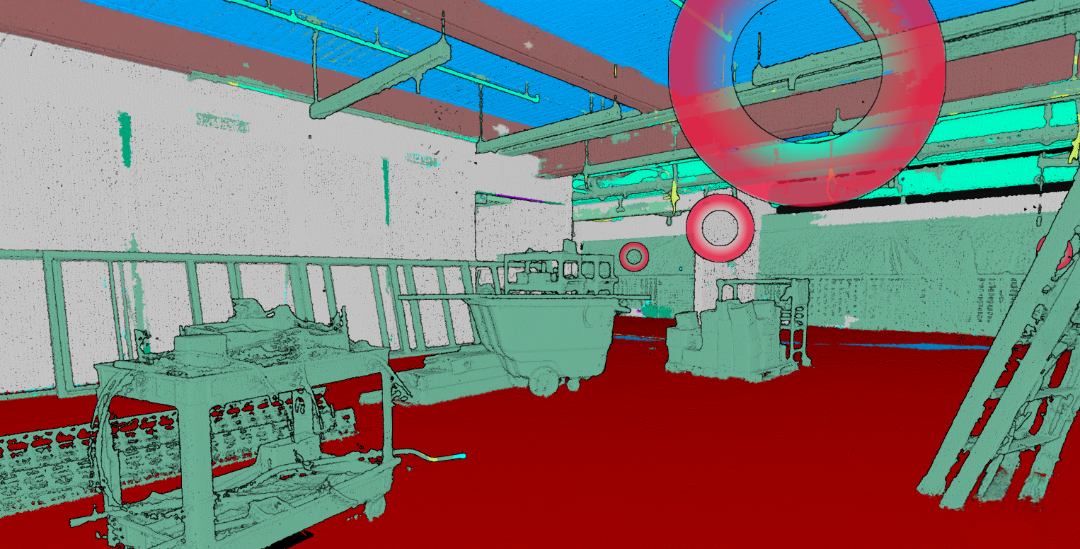
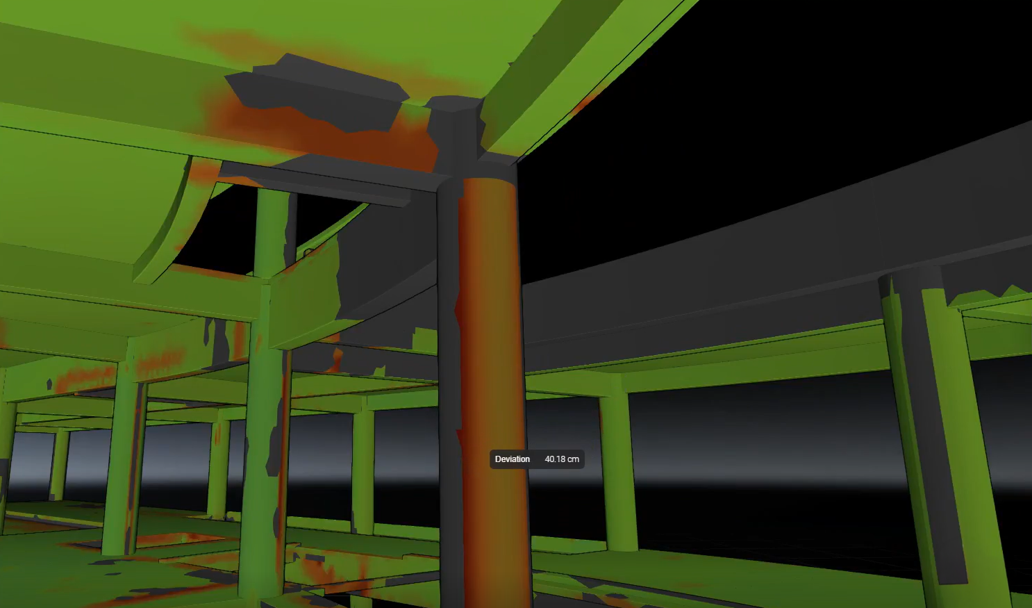
Eliminate data silos and unlock cross-team collaboration with scalable cloud infrastructure for reality capture and survey data. Access large datasets from a browser or stream directly into CAD tools with no hard drives, downloads, or version control conflicts. Better yet, working from shared, synced datasets keeps teams aligned and reduces complexity, while lifetime project storage lowers your total cost of ownership.
Measure with confidence across every job site
- Prevent costly rework by verifying installations and progress directly against images, meshes, and point clouds
- Measure directly in the browser, or connect to Leica Cyclone 3DR and Leica CloudWorx for deeper analysis and Leica Infinity for survey workflows
- Share precise, actionable results across teams and subcontractors with no caps on the number of users you can add to your projects
GeoTags for instant, context-rich field updates
- Use GeoTags to attach updates directly within georeferenced 3D data and insights
- Track and inventory assets, document issues, and streamline communication
- Keep teams aligned by connecting people, tasks, and locations and easily share GeoTags across the entire reality capture ecosystem, from field to office to cloud
Effortless 3D navigation for everyone
- Focus views, jump to floors or zones instantly using SiteMap Levels and Limit Boxes
- Share progress reviews without needing any specialized software or technical skills
- Enable every stakeholder to easily explore complex environments and verify installations
SCAN-TO-MODEL WORKFLOWS
Turn site scans into BIM-ready data, fast
Turn site scans into usable BIM data with AI‑powered point cloud classification and connected office workflows supported by survey‑grade control and validation. Compare as‑builts with design intent in the browser, align scans within a trusted spatial framework, and move confidently from field to cloud to office with built‑in tools that support modelling, verification, and construction workflows.
CloudWorx: CAD workflows made easy
- Model, verify, and analyse as-built conditions directly within preferred CAD applications with CloudWorx for Revit, AutoCAD, Navisworks, and BricsCAD
- Review point clouds together with survey control, reference geometry, and check points to validate alignment, tolerances, and installed work
- Use the free CloudWorx Viewer plugins to access classified data in GeoCloud for fast validation and coordination without heavy desktop workflows
- Stream refined, consistent data into CAD environments to support modelling, verification, and build decisions
AI that classifies, organises and refines your geodata
- Automatically classify point clouds to identify and filter structural, mechanical, electrical, and HVAC elements
- Remove noise and non‑essential detail for cleaner modelling and clearer comparison against survey and design references
- Stream refined datasets directly into CloudWorx for immediate use across modelling and validation workflows
- Share classified data securely through the browser, enabling review by survey, BIM, and construction teams without additional software or licenses
SCAN-TO-VERIFY
Catch issues early and protect schedules
Compare aligned scan and BIM data to validate installations, detect issues early, and prevent costly delays while keeping projects on time and on budget.
Deviation heatmaps for rapid QA/QC
- Visualise out-of-tolerance areas instantly
- Strengthen quality control across mechanical, structural, and architectural systems
- Extend analysis with Cyclone 3DR tools — deviation, progress, clash detection, and reporting