In the fast-moving world of construction, seamless connectivity is key to successful collaboration across every project phase. While cloud services like Dropbox and Google Drive are useful for general file sharing, they often fail to meet the specialized needs of the construction industry.
GeoCloud Drive is designed to address the unique workflows and data requirements of the surveying and construction world. By breaking down connectivity silos between captured data, software, and teams, it acts as a central hub for project data and enables efficient workflows so teams can stay focused on delivering successful projects.
A Specialised Cloud Solution for Construction
Seamless Data Flow Across Construction Phases
Capture and Surveying:
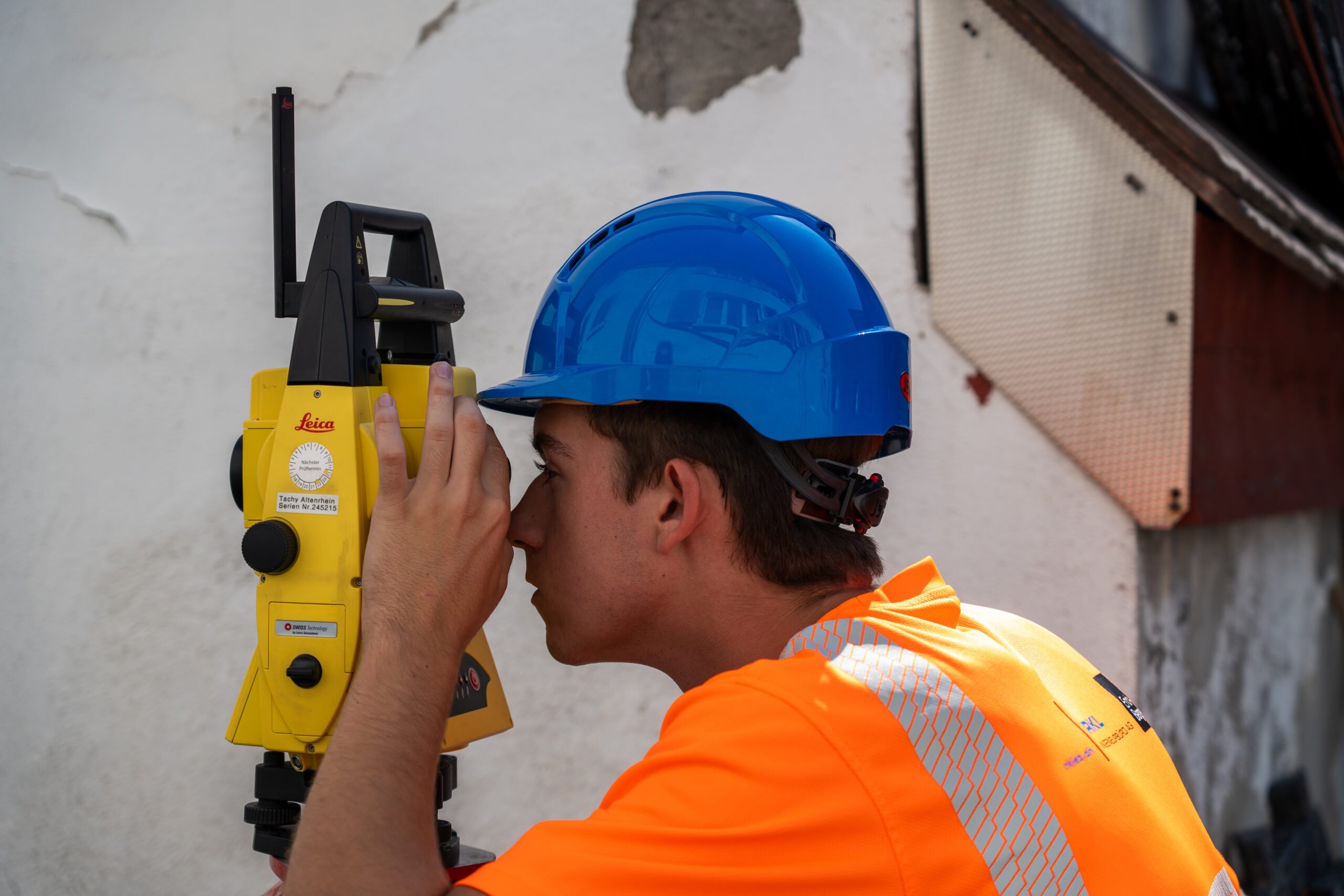
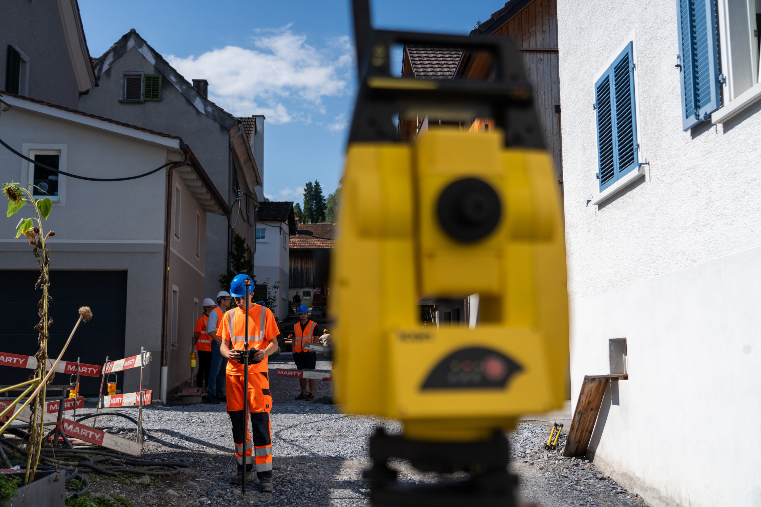
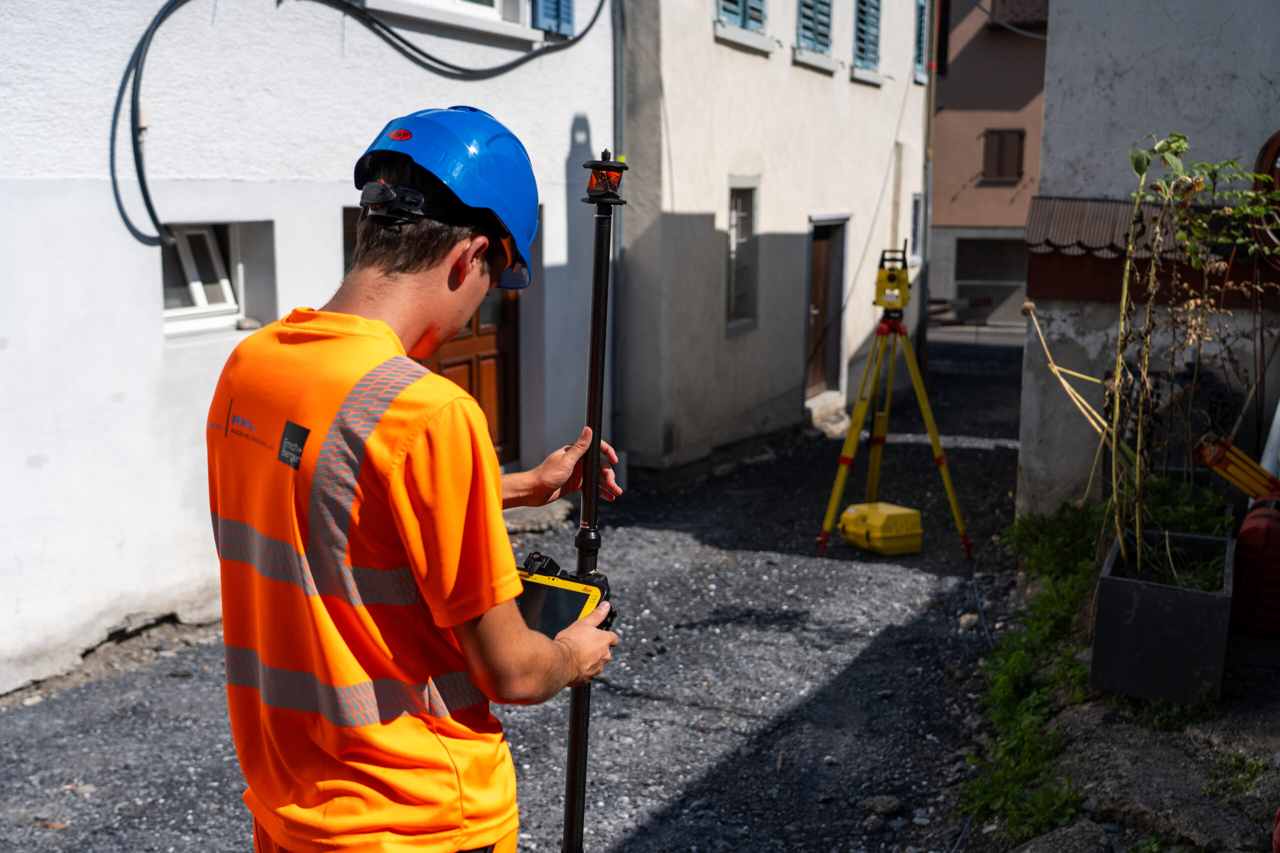
In the initial phase of a project, surveyors collect data using devices like total stations, GNSS, GPR (ground-penetrating radar), drones, and handheld scanners. This data is processed in surveying software like Leica Infinity. GeoCloud Drive plays a pivotal role here by ensuring that the collected measurement data is accessible and can easily be transferred to the next phase. It complements general cloud services by focusing on specialised data needs.Design:
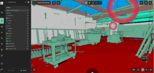
Once the surveying data is collected, it moves to the design phase where it is utilised in major CAD programs like AutoCAD, Revit, Civil 3D from Autodesk, Allplan or ArchiCAD from Nemetschek, MicroStation from Bentley, BricsCAD or any other Windows-based CAD software. GeoCloud Drive facilitates the smooth transfer of measurement and design data between these programs, ensuring the design and initial surveying phases are connected. It also integrates with software solutions that bridge surveying and design, such as 12D or Leica Infinity. For those already using data processing or preparation software from another vendor, GeoCloud Drive integrates with all Windows software, ensuring smooth data exchange with Hexagon field solutions.Construction Execution:
During construction execution, project teams use solutions such as machine control systems and Leica iCON site field software. Data, like updated control points, is continuously exchanged between the surveying teams and the specialists directly on the construction site. GeoCloud Drive is crucial for this data flow, ensuring all stakeholders can access the latest information. Construction progress is reported back to project management, while “as-built” information flows back into the design phase.
Operation and Maintenance:
The final phase is the operation and maintenance of the constructed structures. Here, information is exchanged with facility management software and road authorities. GeoCloud Drive ensures that all relevant data is easily accessible for ongoing maintenance and management, providing a seamless connection between the construction and operation phases.
Sample Workflow: Road Construction Project
We’ve covered a variety of ways GeoCloud Drive enhances connectivity across construction projects. To provide an even clearer picture, we will walk through a sample workflow in road construction to illustrate how GeoCloud Drive enhances every phase.
Road construction projects begin with accurate data collection. After surveyors gather accurate measurements with tools like total stations and GNSS systems, they upload this data to GeoCloud Drive, creating a centralised and easily accessible source for all project stakeholders.
The project team can then continue with the data in a design software, such as Civil 3D, by opening GeoCloud Drive directly from within this software. Design engineers use this data as a foundation to create detailed road models – confident in their designs since they know they are working with consistent and up-to-date data. Once the design is finalised, they export it back to GeoCloud Drive as a LandXML design file, making it available for the next work phase.
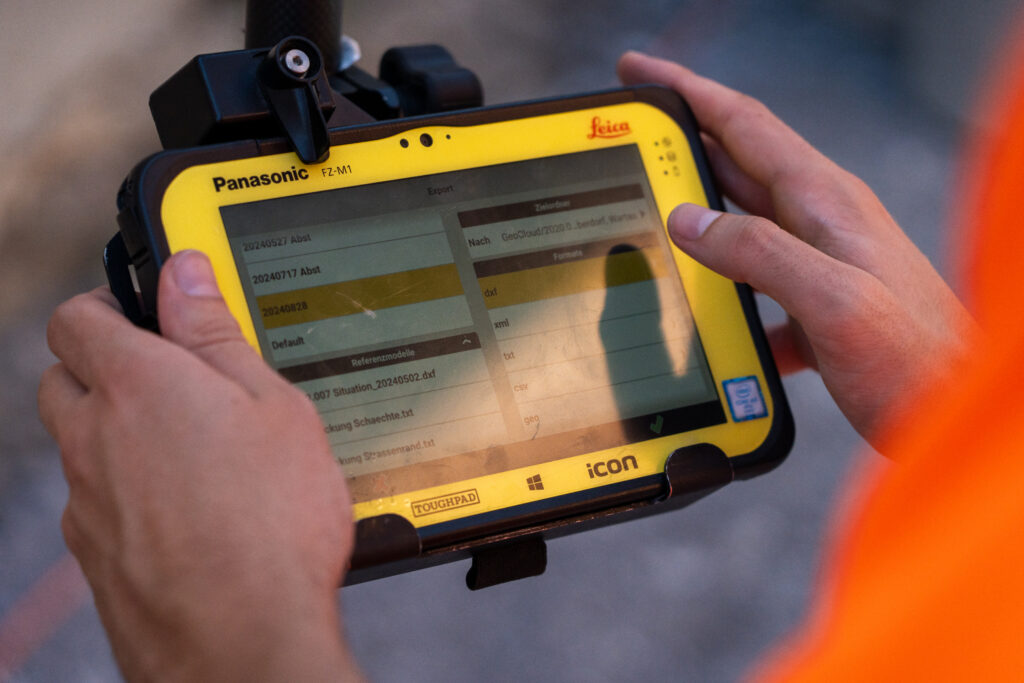
Now the design can be accessed in Leica iCON office to create reference models. These models, formatted as TRM and XML files, are then uploaded to Leica ConX for use in machine control systems. Earthmoving and paving machines use these reference models to perform precise operations based on the latest project data, minimising errors, reducing rework, and ensuring machines operate with optimal efficiency.
Centralised data management and easy access across the road construction project phases facilitate smooth data sharing so that stakeholders have confidence in consistency and results, from creating designs to the heavy lifting of earthworks.
One Hub to Rule Them All
With these features and capabilities, GeoCloud Drive is an indispensable tool for ensuring the success of any construction project. By enabling seamless connectivity across all phases and teams, it supports efficient collaboration and project execution, paving the way for innovative and successful construction outcomes.
If you are looking to simplify and modernize your construction processes, GeoCloud Drive is the ideal solution to boost efficiency and accuracy at every step. Visit HxDR.com/GeoCloud-Drive to learn more or talk to your local sales agent to request a free trial.