GeoCloud Drive, powered by HxDR, makes secure data transfer and storage a fully integrated service for surveyors and construction professionals. But how big is the impact of GeoCloud Drive for site work? RKL AG, a Swiss civil engineering firm with nearly 60 years in the industry, says it’s significant.
Founded in 1965 and based in Gams, Switzerland, RKL has grown to offer comprehensive services in building and road construction across the region. By transitioning from manual data transfer to a streamlined digital data flow, RKL experienced time savings, certainty, and efficiency achieved through GeoCloud Drive, effectively bridging the information gap between field operations and office management.
In an interview with Yanick Schmid, head of surveying for RKL, we learned about the important efficiency gains GeoCloud Drive has enabled across workflows requiring digital data transfer:

Big benefits in familiar workflows
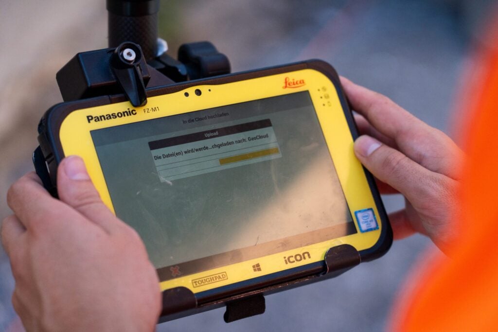
One of the improvements relates to the way data is transferred. “We used to load our data from the controller onto a USB stick, drive to the office, and then upload the data to the PC. Now with GeoCloud Drive, we can upload the data directly to the network while we are on the construction site,” says Schmid. This change has significantly streamlined their processes.
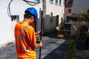
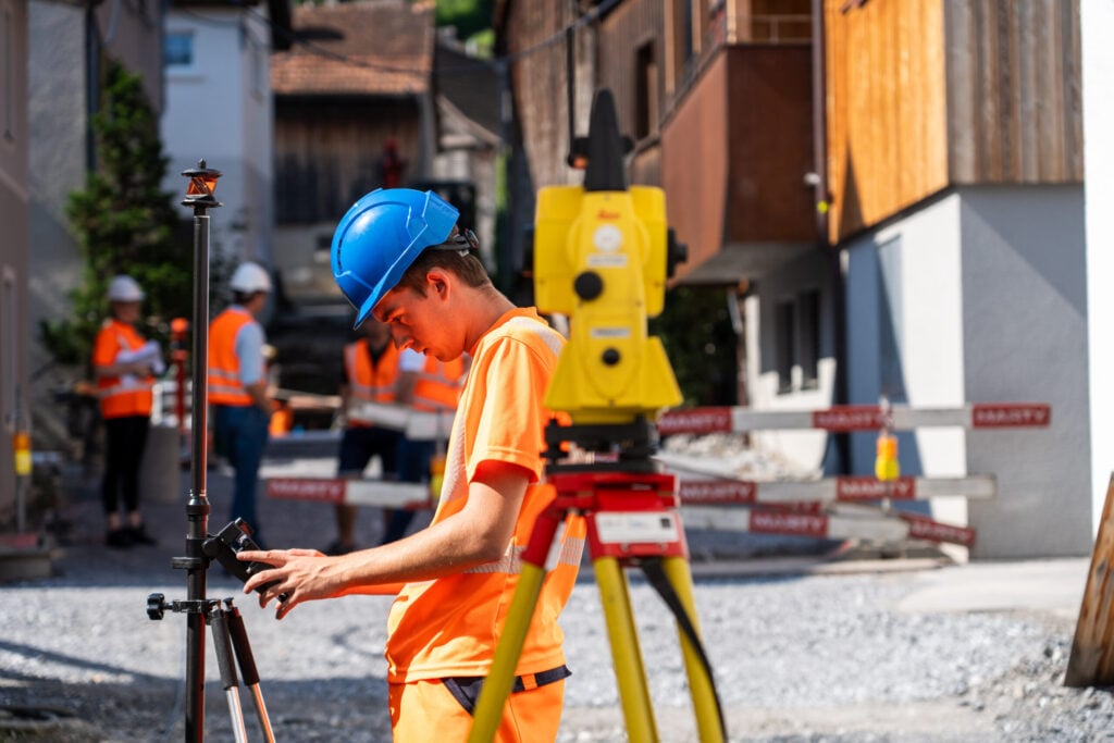
In addition to GeoCloud Drive, RKL utilizes advanced tools and software from Leica Geosystems, such as the iCR70 robotic total station, the iCG70 T smart antenna, and iCON site heavy construction software running on the total station and controllers. The iCR70 facilitates measurements and modern digital layout techniques for high accuracy in tight timelines demanded by the construction industry.
For positioning tasks requiring centimetre-level accuracy, the iCG70 T smart antenna, equipped with tilt compensation and resistance to magnetic interferences, enhances productivity on dynamic construction sites. With the streamlined integration of designs for layout, checks, and measurement results, the entire workflow is connected.
Schmid elaborates on the data flow for a typical RKL project: “First, we create a fixed-point network so we can set up our total stations. Then we take the entire existing heights with the total stations or GPS, and upload everything to GeoCloud Drive so that the designer in the office can already process and check it. This is a great gain for us.”
Certainty on site

With data available immediately in the office, the team can check and react while the operator is still on site. “They can tell him if we need more data or if everything is in order before he packs up his things,” Schmid explains.
This immediate feedback loop is a huge time saver. “When the project manager is on the construction site, he can look at the points we need to record and view the data on-site,” Schmid continues. “Thanks to GeoCloud Drive, he has all the data on his controller. By the time the project manager is back in the office, we can view the data, or the designer may have already processed and checked it.”
Gains scale with large projects
The benefits of GeoCloud Drive scale with the size of the project. “We mainly save time as we can skip the trip to the office.” Schmid notes. “So especially for long and larger construction sites with a lot of data, GeoCloud Drive is a huge gain for us.”
The time savings are even more significant for large projects where large amounts of data must be transferred from multiple instruments. Uploading data directly from the field to the network reduces the need for multiple trips to the office, allowing the team to focus on their tasks without interruptions. This streamlined data transfer process ensures that all data is available in real-time, enabling quicker decision-making and more efficient project management.
Efficient data management equals enhanced productivity
Overall, GeoCloud Drive has revolutionized RKL’s data transfer processes, providing significant time savings, improved efficiency, and enhanced certainty on site. Integrated within the Leica Geosystems surveying and construction sensor and software ecosystem, GeoCloud Drive promotes productivity, making RKL’s workflows more streamlined and effective. These advancements have allowed RKL to manage data more efficiently, especially on large projects, ultimately leading to better project outcomes and increased satisfaction for both the team and their clients.